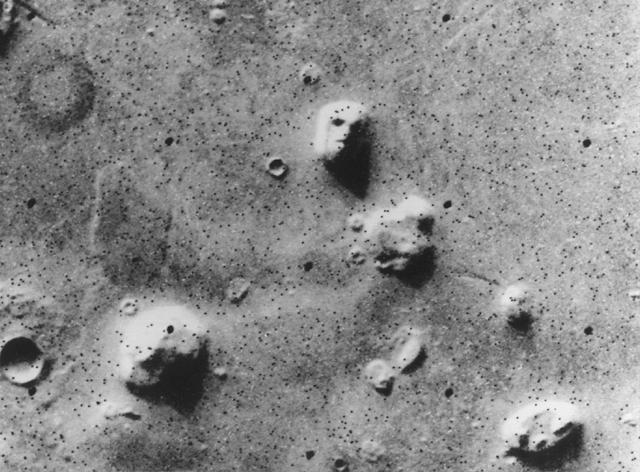
Here is the image that started it all off! NASA's Viking 1 Orbiter spacecraft photographed this region in the northern latitudes of Mars on July 25, 1976 while searching for a landing site for the Viking 2 Lander. The speckled appearance of the image is due to missing data, called bit errors, caused by problems in transmission of the photographic data from Mars to Earth. Bit errors comprise part of one of the 'eyes' and 'nostrils' on the eroded rock that resembles a human face near the center of the image. Shadows in the rock formation give the illusion of a nose and mouth. Planetary geologists attribute the origin of the formation to purely natural processes. The feature is 1.5 kilometers (one mile) across, with the sun angle at approximately 20 degrees. The picture was taken from a range of 1,873 kilometers (1,162 miles).
Conspiracy theorists weren't satisfied and NASA felt enough pressure to have the Mars Global Surveyor take a much better (higher-resolution) look at the feature. Here it is:
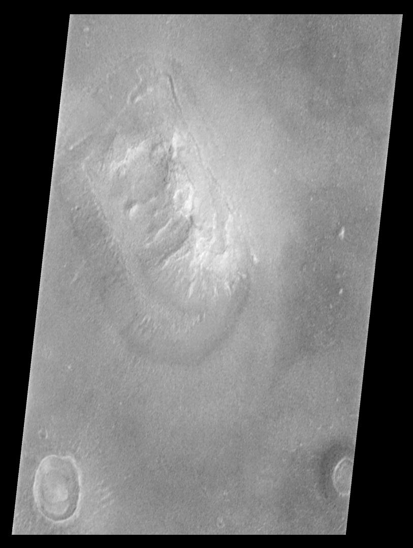
Caption: Shortly after midnight Sunday morning (5 April 1998 12:39 AM PST), the Mars Orbiter Camera (MOC) on the Mars Global Surveyor (MGS) spacecraft successfully acquired a high resolution image of the 'Face on Mars' feature in the Cydonia region. The image was transmitted to Earth on Sunday, and retrieved from the mission computer data base Monday morning (6 April 1998). The image was processed at the Malin Space Science Systems (MSSS) facility 9:15 AM and the raw image immediately transferred to the Jet Propulsion Laboratory (JPL) for release to the Internet. The images shown here were subsequently processed at MSSS.
The picture was acquired 375 seconds after the spacecraft's 220th close approach to Mars. At that time, the 'Face', located at approximately 40.8ˇ N, 9.6ˇ W, was 275 miles (444 km) from the spacecraft. The 'morning' sun was 25ˇ above the horizon. The picture has a resolution of 14.1 feet (4.3 meters) per pixel, making it ten times higher resolution than the best previous image of the feature, which was taken by the Viking Mission in the mid-1970's. The full image covers an area 2.7 miles (4.4 km) wide and 25.7 miles (41.5 km) long. Select here for more about how the data was processed.
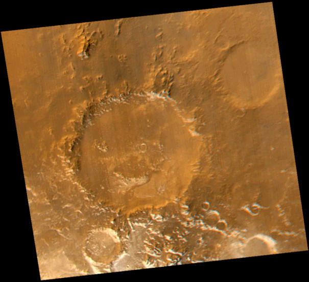
Even better view from an image with 1.56 meter/pixel resolution taken on April 8, 2001:

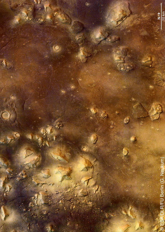
A little perspective of the "Face" in its surroundings of the Cydonia Region from the Mars Express spacecraft on September 21, 2006. This is from an image with 13.7 meters/pixel resolution
The THEMIS team (Odyssey mission) created a great feature page that describes the geology of the region.
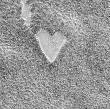
And isn't this sweet? (To Earth from Mars with love)
last updated: January 19, 2007